Terreno para venda em Lourinhã, Portugal — 2 200 000 €
Terreno de 10 710 m² · 205 €/m²
- Localização
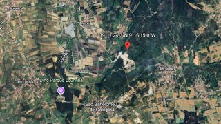
- Lourinhã, Portugal
- Área do terreno
- 10 710 m²
- Preço
- 2 200 000 €
- Preço por m²
- 205 €/m²
- Tipo de terreno
- Terreno urbano
- Tempo no mercado
- 257 dias
Resumo do terreno
A classificação do solo nesta área é mista. Foram identificadas nesta área condicionantes associadas à Natura 2000. Consulte os detalhes e confirme as condições relevantes antes de tomar uma decisão.
Sobre este terreno
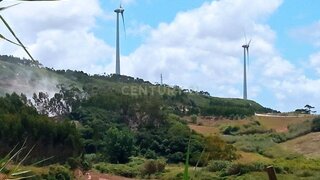
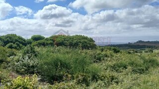
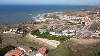
Urban plot of land measuring 10,710 m², located in the center of Atalaia, Lourinhã, with a superb view over the Atlantic Ocean.Approved project for 10 detached houses (4 + 6), with a maximum of 3 floors: 2 floors above ground level and 1 floor below.Privileged location, just steps from all services, making this plot an excellent investment opportunity.Nearby are historic cities such as Óbidos and Torres Vedras, as well as Peniche, a fishing village renowned for its surfing and excellent seafood restaurants. Lourinhã is a picturesque village with a market, supermarkets, banks, schools, restaurants and cafes. Urban plot of land measuring 10,710 m², located in the center of Atalaia, Lourinhã, with a superb view over the Atlantic Ocean.Approved project for 10 detached houses (4 + 6), with a maximum of 3 floors: 2 floors above ground level and 1 floor below.Privileged location, just steps from all services, making this plot an excellent investment opportunity.Nearby are historic cities such as Óbidos and Torres Vedras, as well as Peniche, a fishing village renowned for its surfing and excellent seafood restaurants. Lourinhã is a picturesque village with a market, supermarkets, banks, schools, restaurants and cafes.The region offers various leisure activities, such as water sports, horseback riding and go-karting. The new Jurassic Park is just 10 minutes away.For golf lovers, there are five golf courses about 20 to 30 minutes away. Lisbon Airport is approximately a 45-minute drive away. #ref:BL1328
Comodidades próximas
Distâncias aproximadas com base no centro da área
Explore dados adicionais do terreno
Abra no Yonder para verificar os dados disponíveis
- Restrições (REN, RAN, Natura 2000)
- •••
- Uso do solo
- •••
- Elevação
- •••