Land for sale in Lourinhã, Portugal — €2,200,000
10,710 m² plot · €205/m²
- Location
- Lourinhã, Portugal
- Plot size
- 10,710 m²
- Price
- €2,200,000
- Price per m²
- €205/m²
- Listing type
- Urban plot
- Time on market
- 248 days
Land overview
Land classification in this area is mixed. Restrictions associated with the Natura 2000 have been identified in this area. Review the details and confirm all relevant conditions before making a decision.
About this land
Original listing description, in Portuguese.
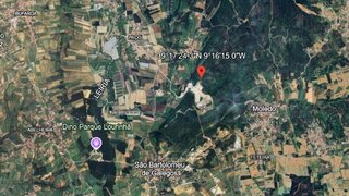
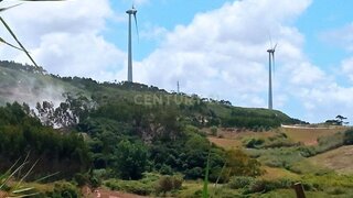
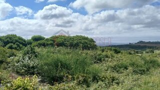
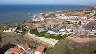
Urban plot of land measuring 10,710 m², located in the center of Atalaia, Lourinhã, with a superb view over the Atlantic Ocean.Approved project for 10 detached houses (4 + 6), with a maximum of 3 floors: 2 floors above ground level and 1 floor below.Privileged location, just steps from all services, making this plot an excellent investment opportunity.Nearby are historic cities such as Óbidos and Torres Vedras, as well as Peniche, a fishing village renowned for its surfing and excellent seafood restaurants. Lourinhã is a picturesque village with a market, supermarkets, banks, schools, restaurants and cafes. Urban plot of land measuring 10,710 m², located in the center of Atalaia, Lourinhã, with a superb view over the Atlantic Ocean.Approved project for 10 detached houses (4 + 6), with a maximum of 3 floors: 2 floors above ground level and 1 floor below.Privileged location, just steps from all services, making this plot an excellent investment opportunity.Nearby are historic cities such as Óbidos and Torres Vedras, as well as Peniche, a fishing village renowned for its surfing and excellent seafood restaurants. Lourinhã is a picturesque village with a market, supermarkets, banks, schools, restaurants and cafes.The region offers various leisure activities, such as water sports, horseback riding and go-karting. The new Jurassic Park is just 10 minutes away.For golf lovers, there are five golf courses about 20 to 30 minutes away. Lisbon Airport is approximately a 45-minute drive away. #ref:BL1328
Nearby Amenities
Approximate distances based on area centroid
Explore additional land data
Open in Yonder to check available data
- Restrictions (REN, RAN, Natura 2000)
- •••
- Land use
- •••
- Elevation
- •••