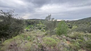
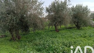
Terreno para venda em Loulé, Portugal — 1 900 000 €
Terreno de 4314 m² · 440 €/m²
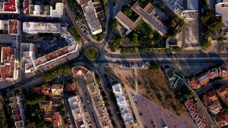
- Localização
- Loulé, distrito de Faro, Portugal
- Área do terreno
- 4314 m²
- Preço
- 1 900 000 €
- Preço por m²
- 440 €/m²
- Tipo de terreno
- Terreno urbano
- Tempo no mercado
- 1865 dias
Resumo do terreno
A classificação do solo nesta área é urbana. Consulte os detalhes para compreender melhor este enquadramento territorial e confirmar os aspetos relevantes antes de tomar uma decisão ou avançar com os próximos passos.
Sobre este terreno
Land with feasibility construction, block / s of apartments, in the city center of Loulé. This land is located in the Loulé City Center 650M from loulé market, next to all amenities, restaurants, supermarkets, public offices and all access. Total construction area allowed by the MDP at the moment 2500m2, with process in approval in the chamber. The visible proposal in the annex has already entered the CML as a form of request for prior approval for the construction of the described below that extends the construction areas allowed at this time by the MDP; - Total area of Lot 4313m2 - 2500m2 of Construction area for parking - 20% of the construction area for parking - 4 floors above ground - 600m2 of implantation area + basement - 20% of the implantation area for terraces About Loulé ! Today, Loulé is the economic center of the largest Portuguese municipality, where coastal villages live off tourism and the interior depends on trade and agriculture. On the outskirts of the city are some of the best known tourist areas of the Algarve, such as Vilamoura or Quarteira on the coast and Salir or Alte in the interior. Very close to the city, nature lovers will be pleasantly surprised by the Protected Areas of Benémola and Rocha da Pena, which help preserve a different Algarve, full of native vegetation and where it is possible to make organized walks. Loulé's carnival celebrations are among the most famous in Portugal, as well as its White Night and MED Festival !
Comodidades próximas
Distâncias aproximadas com base no centro da área
Explore dados adicionais do terreno
Abra no Yonder para verificar os dados disponíveis
- Restrições (REN, RAN, Natura 2000)
- •••
- Uso do solo
- •••
- Elevação
- •••