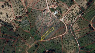
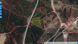
Land for sale in Sardoal, Portugal — €2,000
1,200 m² plot · €2/m²
- Location
- Sardoal, Portugal
- Plot size
- 1,200 m²
- Price
- €2,000
- Price per m²
- €2/m²
- Listing type
- Rural plot
- Time on market
- 1233 days
Land overview
Land classification in this area still requires confirmation. Restrictions associated with the RAN agricultural reserve have been identified in this area. Review the details and confirm all relevant conditions before making a decision.
About this land
Original listing description, in Portuguese.
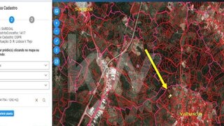
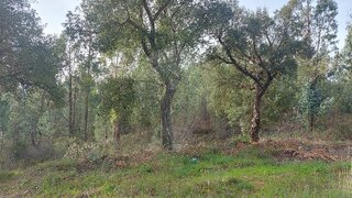
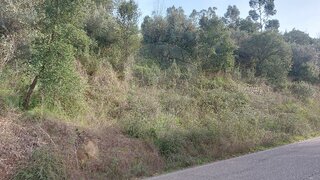
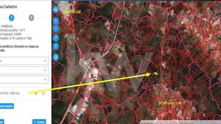
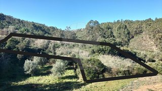
DescriçãoTerreno em Codes, Sardoal – 1.200 m² Terreno Rústico com 1.200 m², situado na pitoresca localidade de Codes, Sardoal, próximo de dois dos mais belos pontos naturais da região: ? Ponte Medieval da Ribeira do Codes? Praia Fluvial de Penedo Furado (a apenas 7 minutos) ? Localização exata: Clique para aceder ao GoogleMaps? Coordenadas GPS: 39°36'56.0"N 8°09'13.5"W Descubra o potencial deste terreno e proponha-se a adquirir este imóvel! ? A informação disponibilizada não dispensa a sua confirmação junto da CM Sardoal.? Algumas imagens apresentadas ilustram a beleza da zona e equipamentos adjacentes, podendo não representar o terreno em si. Se quiser alguma informação específica, estou ao seu dispor! ? ----- Land in Codes, Sardoal – 1,200 m² Land with 1,200 m², located in the picturesque town of Codes, Sardoal, close to two of the most beautiful natural spots in the region: ? Medieval Bridge of Ribeira do Codes ? Penedo Furado River Beach (only 7 minutes) ? Exact location: Click to access Google Maps ? GPS coordinates: 39°36'56.0"N 8°09'13.5"W Discover the potential of this land and propose purchasing this property! ? The information provided does not exempt you from confirming it with CM Sardoal. ? Some images presented illustrate the beauty of the area and adjacent equipment, and may not represent the land itself. If you want any specific information, I am at your disposal! ?
Nearby Amenities
Approximate distances based on area centroid
Explore additional land data
Open in Yonder to check available data
- Restrictions (REN, RAN, Natura 2000)
- •••
- Land use
- •••
- Elevation
- •••