Terreno para venda em Valença, Portugal — 46 500 €
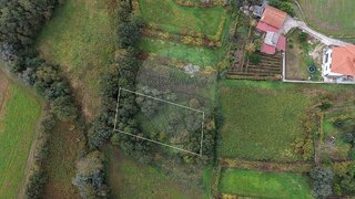
Terreno de 2100 m² · 22 €/m²
- Localização
- Valença, distrito de Viana do Castelo, Portugal
- Área do terreno
- 2100 m²
- Preço
- 46 500 €
- Preço por m²
- 22 €/m²
- Tipo de terreno
- Terreno urbano
- Tempo no mercado
- 1964 dias
Resumo do terreno
A classificação do solo nesta área é urbana. Consulte os detalhes para compreender melhor este enquadramento territorial e confirmar os aspetos relevantes antes de tomar uma decisão ou avançar com os próximos passos.
Sobre este terreno
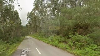
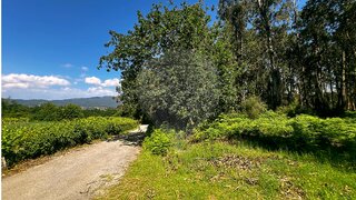
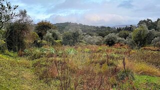
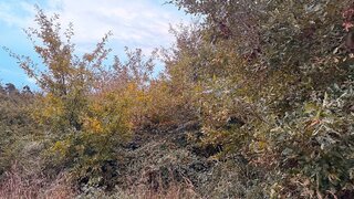
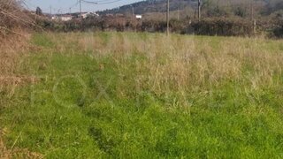
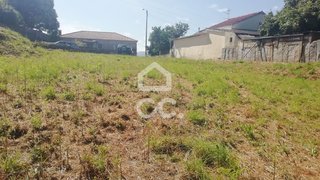
Land with 2,100m2 for the construction of single-family housing, practically flat. This land is located in one of the parishes of the city of Valença further north. Very well located in the center of the parish 10 minutes from Monção and Salvaterra (Spain) and about 6 minutes from Valencia. Benefited by its proximity to the ecopista and the Minho River. Next to it is water and light which is an asset. Good sun exposure and unobstructed views of the village. Come and find out more about this magnificent terrain. Don't wait any longer to fulfill your dream. Verdoejo is a portuguese parish in the municipality of Valença located at 90 meters of altitude, with 3.82km of area and 608 inhabitants (291 males and 317 females), distributed by the places of: Barracas, Barrier, Bouça Longa, Bouço, Calvary, Devesa, Eido do Monte, Eido Novo, Eirado, Ermegil, Gingleta, Igreja, Miudal, Paço, Padrões, Presa, Quinteiro, Regueiro, Renda São Tomé and Sobre-as-Eiras. The main activities of this village are agricultural and are distributed by the cultivation of vines, corn, potatoes and cereals. The toponymy of this parish and the archeology of the surroundings, show that the settlement of the territory of this parish is quite earlier than the 18th century. XII, the first known references of this parish date from 950 and 991. The word Verdoejo derives from the term "green", more specifically "green-see"
Comodidades próximas
Distâncias aproximadas com base no centro da área
Explore dados adicionais do terreno
Abra no Yonder para verificar os dados disponíveis
- Restrições (REN, RAN, Natura 2000)
- •••
- Uso do solo
- •••
- Elevação
- •••