Land for sale in Porto Santo, Portugal — €135,000
3,600 m² plot · €38/m²
- Location
- Porto Santo, Portugal
- Plot size
- 3,600 m²
- Price
- €135,000
- Price per m²
- €38/m²
- Listing type
- Rural plot
- Time on market
- 188 days
About this land
Original listing description, in Portuguese.
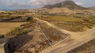
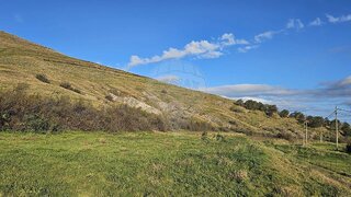
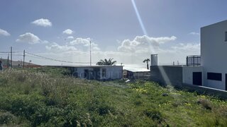
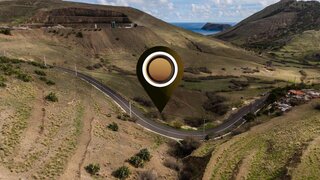
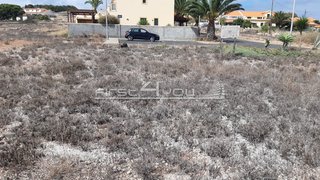
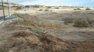
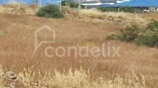
Rustic Investment Opportunity – 4,160m² Agricultural Estate in Porto Santo Location: Sítio da Camacha, Porto Santo Nature: Rustic Plot (Prédio Rústico) This expansive 3600m² plot offers a unique opportunity to own a significant piece of Porto Santo's traditional landscape. Located in the tranquil area of Camacha, this property is ideal for those seeking agricultural potential or a strategic land investment on the "Golden Island". Property Highlights Total Land Area: 3600m² (0.3600 hectares) of contiguous land. Soil & Agriculture: Classified as 2nd Class dryland arable culture (Cultura arvense de sequeiro), perfectly suited for regional crops that thrive in Porto Santo's climate. Terrain: Characterized entirely as "uncovered area, " providing a blank canvas for agricultural projects or landscaping. Legal Status: Registered as a rustic building with the Land Registry (No. Location & Accessibility Situated in Sítio da Camacha, the property combines rural privacy with convenient access. Environment: A quiet, low-density area surrounded by traditional farming plots and scattered residential villas. Convenience: Located just a short drive from the center of Camacha and the island's famous 9km sandy beach. Views: Enjoy the open, serene vistas typical of Porto Santo's northern interior. Potential for Use: While currently registered for agricultural use, the property's scale and location near existing residential buildings make it an interesting long-term prospect. Buyers are encouraged to consult the Porto Santo Municipal Master Plan (PDM) regarding any future potential for small agricultural support structures or changes in land use classification. Secure your piece of Porto Santo's heritage today.
Nearby Amenities
Approximate distances based on area centroid
Explore additional land data
Open in Yonder to check available data
- Restrictions (REN, RAN, Natura 2000)
- •••
- Land use
- •••
- Elevation
- •••